swisspeaX web app
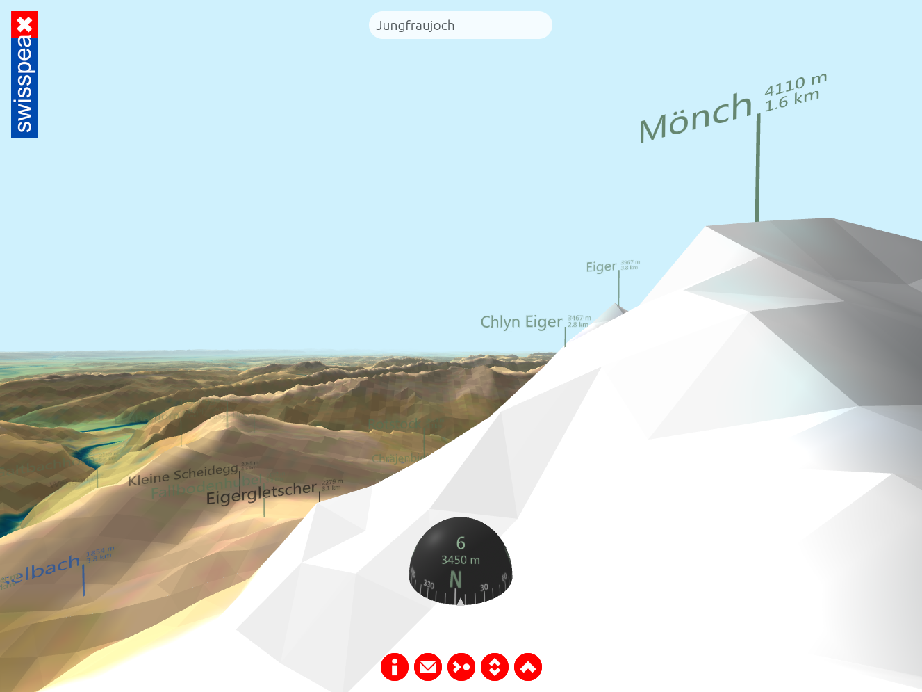
The web app "swisspeaX" displays the entire topography of Switzerland as seen by the user at their actual location. Provided that the user agrees to GPS localization, "swisspeaX" displays the landscape at the correct altitude and position, and shows the names of all nearby towns, bodies of water, hills and mountain peaks (including distance and sea level).
Die Webapp "swisspeaX" bildet die gesamte Schweizer Topografie nach, so wie sie die Nutzerin/der Nutzer an seinem aktuellen Standort sehen kann. Eine Zustimmung zur GPS-Lokalisierung vorausgesetzt, stellt "swisspeaX" die Landschaft höhen- und lagerichtig dar und blendet die Namen aller nahegelegenen Ortschaften, Gewässer, Hügel sowie Berggipfel (jeweils einschliesslich Distanz und Meereshöhe) ein.
L'application web "swisspeaX" reproduit l'ensemble de la topographie suisse telle que l'utilisateur peut la voir à son emplacement actuel. Si l'utilisateur accepte la localisation GPS, "swisspeaX" représente le paysage en fonction de l'altitude et de la position et affiche les noms de toutes les localités proches, des cours d'eau, des collines et des sommets (y compris la distance et l'altitude).
